News Summary
A tropical system named Imelda is forecasted to impact central and eastern North Carolina, bringing heavy rainfall, damaging winds, and a high risk of flooding. The storm’s current trajectory indicates potential stall along the coast, leading to prolonged rainfall. Preparedness measures are underway in Raleigh, where efforts to manage flood risks are being implemented. Duke Energy is also preparing for possible outages. Authorities continue to monitor the situation closely as the storm develops.
Raleigh, North Carolina — Tropical System Imelda Could Bring Significant Flooding Early Next Week
A new tropical system named Imelda is forecast to impact central and eastern North Carolina early next week, with the potential to cause heavy rainfall, damaging winds, and widespread flooding in the region.
Forecasted Path and Impact
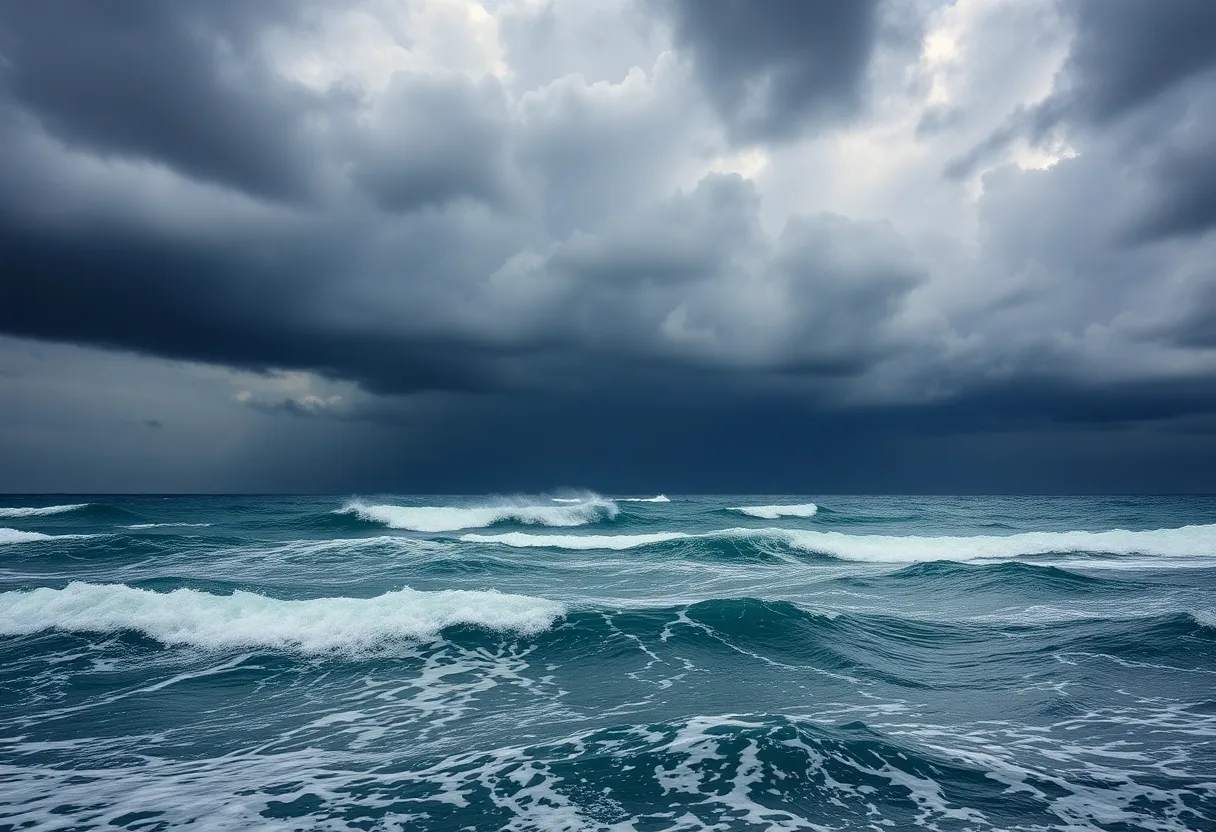
Current projections indicate that Imelda is moving northwest at approximately 8 mph over the Atlantic Ocean, with sustained winds near 35 mph. The system is expected to develop further, potentially becoming a tropical storm or hurricane over the weekend. Meteorologists warn that the storm could stall along the coast due to a stationary front, leading to prolonged rainfall.
Predicted rainfall amounts include 8 to 12 inches in eastern Cuba, 4 to 8 inches in the Bahamas, and likely heavy rain impacting the southern Mid-Atlantic and coastal Georgia. The Atlantic hurricane season has been unusually quiet, but the development of Imelda is notable, along with Tropical Storm Humberto and Hurricane Gabrielle tracking in the Atlantic basin.
Flooding Risks and Coastal Hazards
The primary concern with Imelda is flooding. The storm is expected to saturate the ground in affected areas, increasing the likelihood of trees falling onto power lines and causing outages. Storm surge could raise water levels by 1 to 3 feet along the coast of the northwestern Bahamas, posing additional hazards for coastal communities.
Coastal regions might also experience hazardous surf conditions and rip currents because of the swells generated by Imelda and Humberto. The potential for flash flooding remains high for areas along the southern Mid-Atlantic and coastal Georgia, with rainfall possibly leading to dangerous floodwaters.
Preparedness Measures in North Carolina
In anticipation of the storm, the City of Raleigh has begun preparations, notably lowering Lake Johnson by nearly 2.5 feet. The lake’s water level is expected to reach between 3.5 and 3.75 feet by Saturday noon. Additionally, Raleigh city crews have inspected and cleared around 200 storm drains to help manage floodwaters and reduce urban flooding risk.
Duke Energy is closely monitoring Imelda’s path to ready its workforce and infrastructure for potential outages. The energy company has thousands of line and tree workers in the Carolinas who can be mobilized quickly if outages occur. They also utilize damage modeling systems to predict areas most likely to experience destruction, such as downed trees, broken power poles, and flooding.
Furthermore, the company has upgraded its power grid with stronger poles and wires designed to resist storm-related damage. Implementing healing technology aims to speed up the restoration process should outages happen during the storm’s impact.
Additional Weather and Seasonal Context
Though Imelda is a focal point, meteorologists are actively tracking Tropical Storm Humberto and Hurricane Gabrielle in the Atlantic. It’s noteworthy that the current hurricane season features unusual patterns for named-storm development, with several systems forming in rapid succession despite a generally quiet overall season.
Forecasts suggest that Imelda’s heavy rains and potential for stalling might produce extended periods of rainfall in affected areas, compounding flood risks and complicating recovery efforts once the storm passes.
Summary of Key Risks
- Flooding: Greatest threat associated with Imelda, with heavy rains saturating soil and raising the risk of surface and urban floods.
- Damaging Winds: Wind gusts could knock down trees and power lines, resulting in outages.
- Storm Surge: Coastal areas might see water levels rise by 1 to 3 feet, affecting shoreline communities.
- Extended Rainfall: Potential for prolonged, heavy rain due to storm stall, increasing flooding likelihood.
Authorities continue to monitor the storm closely, advising residents to stay informed and prepare for possible severe weather early next week.
Deeper Dive: News & Info About This Topic
HERE Resources
Additional Resources
- ABC11: Eye on Tropics – Duke Energy, City of Raleigh Prepare for Tropical System
- News Observer: Hurricane Imelda Could Bring Threats to North Carolina
- ABC11: Humberto Strengthens into Hurricane – 8th Storm of Season
- Wikipedia: General Reference
- Encyclopedia Britannica: General Reference